The GCF provides cutting edge technological and analytical capabilities for public and non-profit entities. 

Current and Previous Partnerships:

On-Campus Project

drone image with snow

Snow Rooftop Mapping

Working with MSU Facilities Services, we have developed a new approach to map and measure snow loads across campus rooftops.


External Partnership

example cropped image of mapping the channels on a sattelite map for bozeman

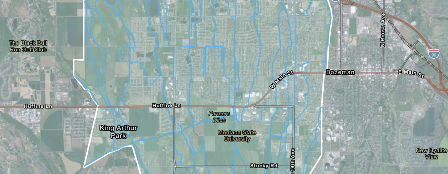
City of Bozeman Open Channels Remapping

This project is a collaboration between the Gallatin Watershed Council, the National Park Service, the City of Bozeman, and the Geospatial Core Facility to improve the spatial and descriptive accuracy of the city’s creeks and irrigation canals for better-informed planning and management.

External Partnership

Screenshot of RCT for South West Montana

U.S. Fish and Wildlife Service

The River Conditions Tool provides easy access to real-time data to support watershed groups in their drought management and resource conservation activities.